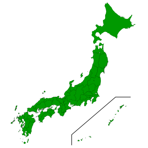
The 日本地図作成GPT is a cutting-edge tool designed for creating segmented maps of Japanese prefectures. It offers precise mapping capabilities and the ability to highlight specific regions based on user-defined criteria. The tool operates through Python and prototype plugins, providing an efficient and robust solution for generating custom maps with diverse color-coding and visual enhancement options.
How to use
To utilize the 日本地図作成GPT, follow these steps:
- Install the necessary Python and prototype plugins.
- Input prompts such as '日本地図を描いてください' to initiate map creation.
- Specify color-coded criteria such as population thresholds or regional attributes to customize the map output.
Features
- Advanced mapping and segmentation capabilities
- Precise color visualization for highlighting regions based on user-defined criteria
- Integration with Python and prototype plugins for seamless operation and customization
Updates
2024/02/08
Language
Japanese (日本語 (にほんご/にっぽんご))
Prompt starters
- 日本地図を描いてください。
- 東京都を赤く塗った日本地図を描いてください。
- 人口300万人以上の都道府県を青く塗ってください。
- 政令指定都市のある県を緑色に塗ってください。
Tools
- python
- plugins_prototype
Tags
public
reportable
uses_function_calls